Project: Epicenter
Year: 2025
Stack: React JS
Gist:
Web development (HTML, CSS, React JS)
Live feed, connected to USGS feeds
Interactive Leaflet map
Optimized for at least 9000 data points
Deployed on Github and Vercel
Putting earthquakes into perspective.
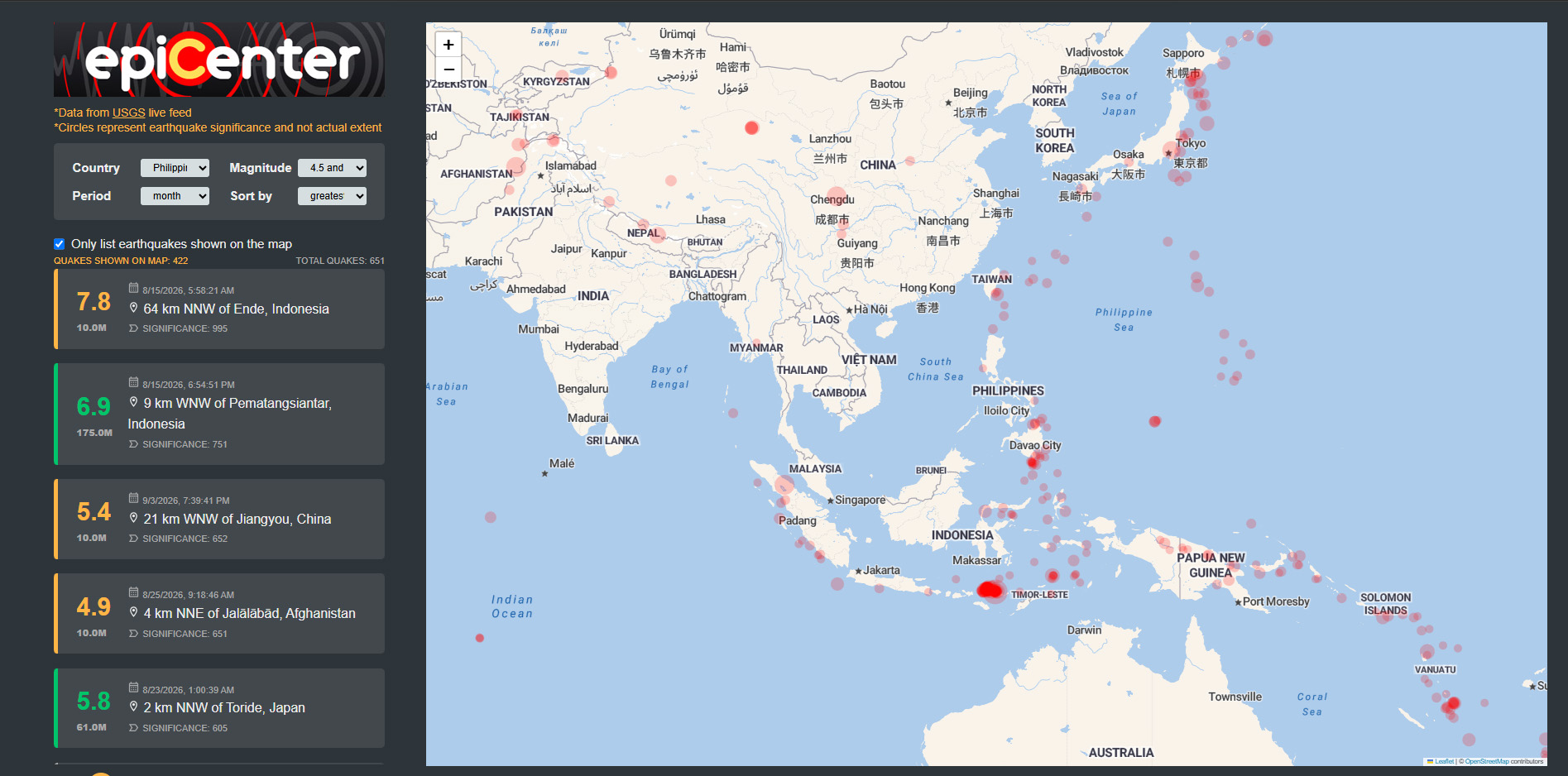
Epicenter is an interactive earthquake visualization tool I built to put earthquake news into context.
News reports can make an earthquake sound scary simply because an earthquake happened, without showing how strong it was or how far away it occurred. Epicenter uses live USGS earthquake data to show where earthquakes are happening, how frequently they occur, their magnitude, depth, significance, and distance.
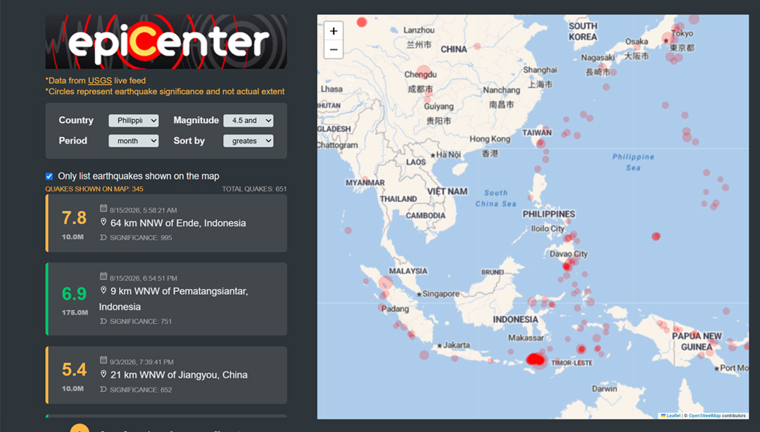
You can explore earthquakes from the past month, week, day, or hour and sort them by magnitude, depth, significance, or newest first. The map can also filter the list to only earthquakes currently visible on screen, while the country selector flies to your chosen country and updates as you pan.
I also built it for a very practical reason: when I feel something shake, I can quickly check whether an earthquake actually happened nearby … or whether I was just dizzy, lol.
The goal is simple: less alarm, more context.
Features
- Live earthquake data from the USGS
- Worldwide earthquake visualization
- View earthquakes from the past month, week, day, or hour
- Sort events by magnitude, depth, significance, or newest first
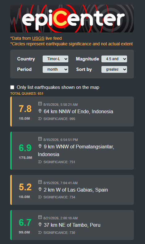
- Filter the list to earthquakes currently visible on the map
- Select a country and fly the map to its location
- Country selection updates to the nearest country as the map moves
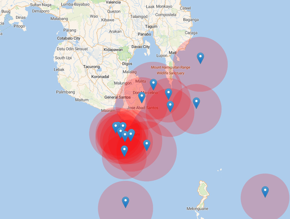
- Visual markers that communicate relative earthquake significance
- Distance and location context for understanding how close an event is
Epicenter is ultimately about making earthquake information less abstract. Rather than simply seeing a headline that says an earthquake happened, you can explore where it happened, how strong it was, how deep it was, how far away it is, and how it compares with other recent events.
Data source: U.S. Geological Survey (USGS) earthquake feeds.
Less alarm, more context